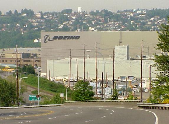
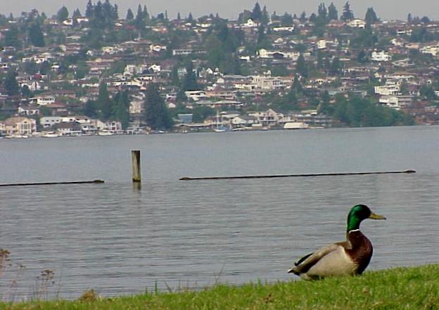
- I headed south from Bellevue down to the lower end of Lake Washington at
Renton, and Boeing...
-
-

-
-
-
- Then on down to Tacoma, at the south end of Puget Sound... about 35
miles south of Seattle...
-
-

-
-
-
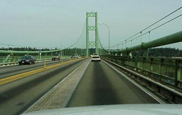
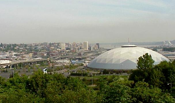
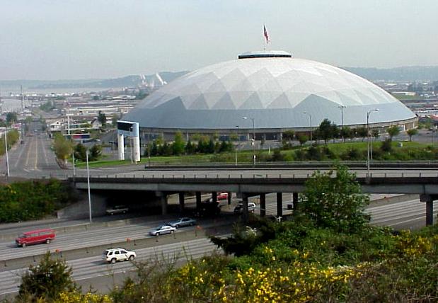
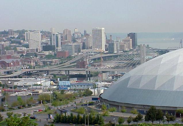
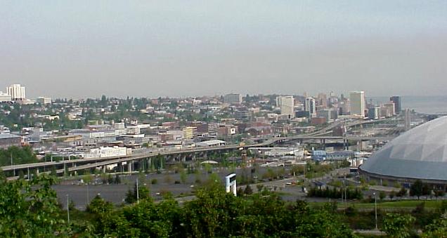
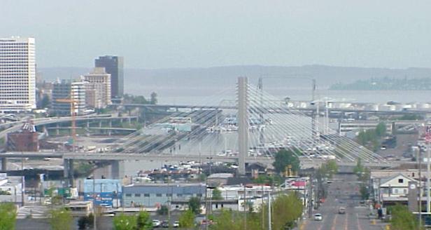
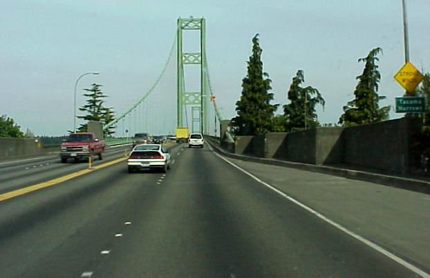
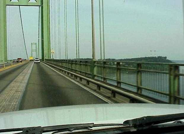
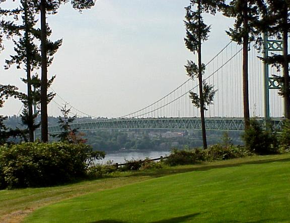
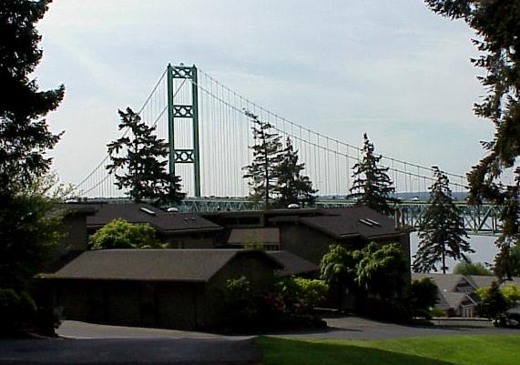
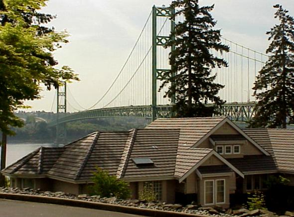
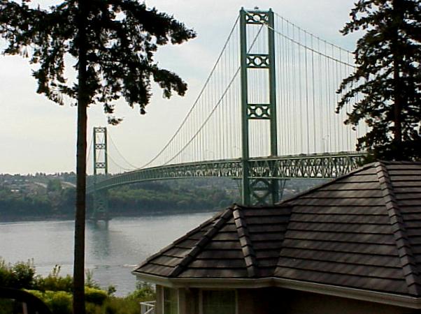
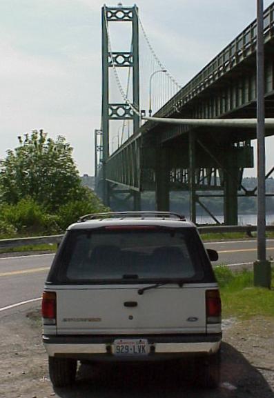
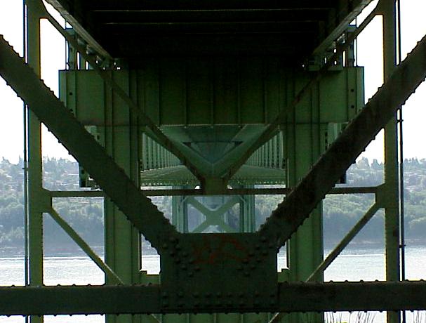
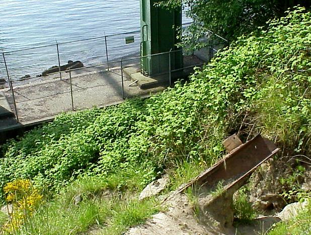
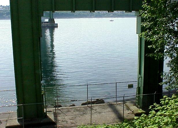
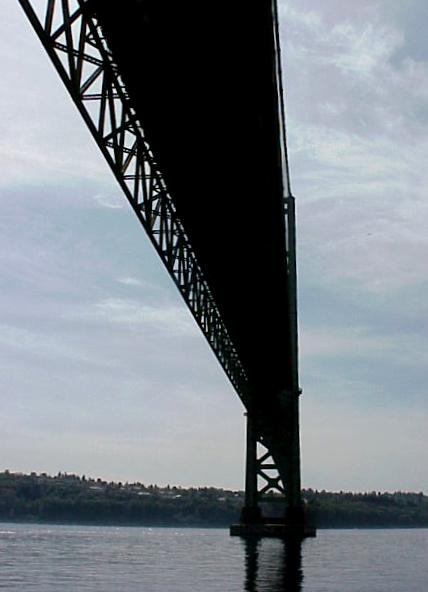
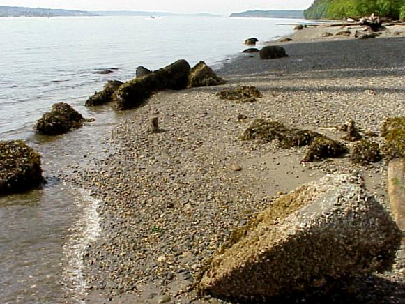
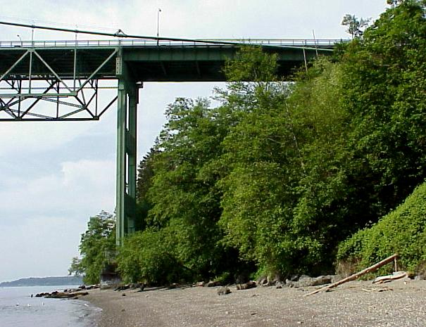
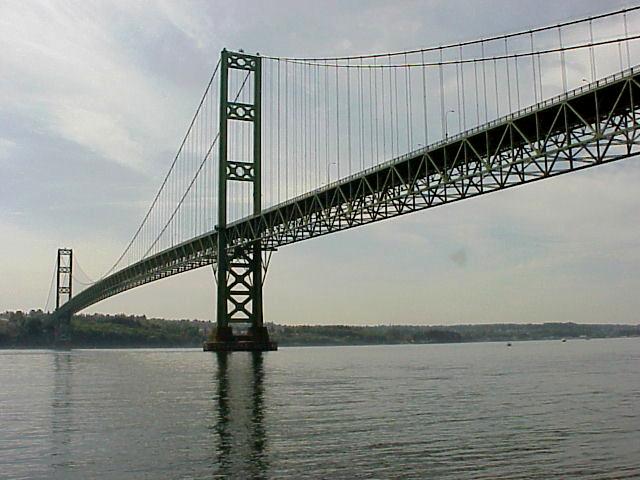
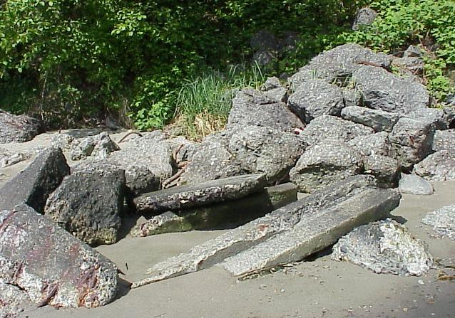
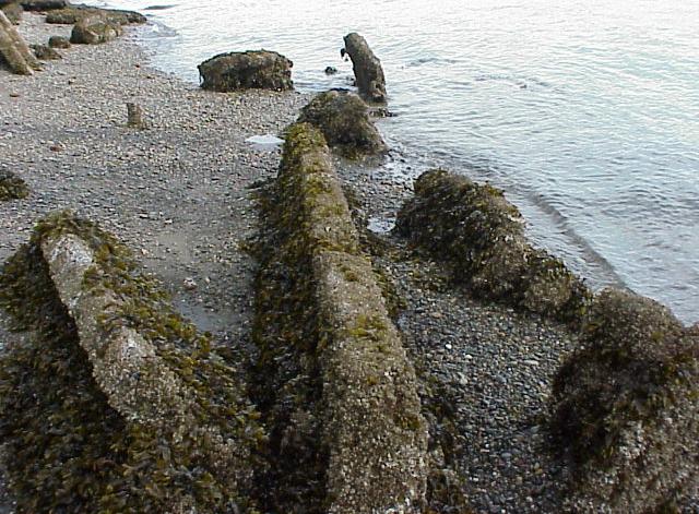
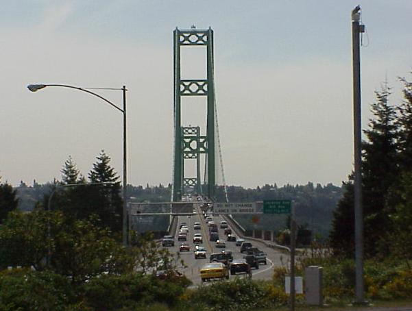
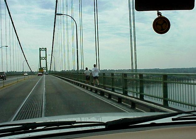
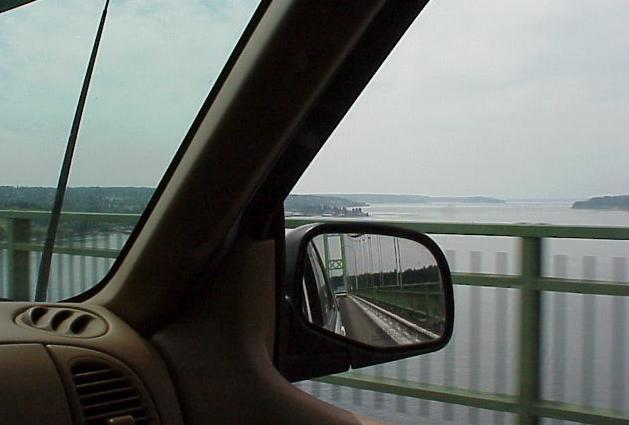
- Just beyond Tacoma, approaching and crossing the Tacoma Narrows Bridge...
-
-

-
-
-
- On the Gig Harbor side of the Narrows... backyard views...
-
-

-
-
- Links to the Tacoma Narrows Bridge Disaster of 1940:
-
-
http://www.tacomanarrowsbridge.com
-
-
http://www.enm.bris.ac.uk/research/nonlinear/tacoma/tacoma.html
-
-
http://www.pbs.org/wgbh/nova/bridge/tacoma3.html
-
-
-
- Down to the bottom...
-
-

-
-

-
-

-
-
- Debris from the 1940 collapse is still visible on the shore below the
bridge...
-
-

-
-
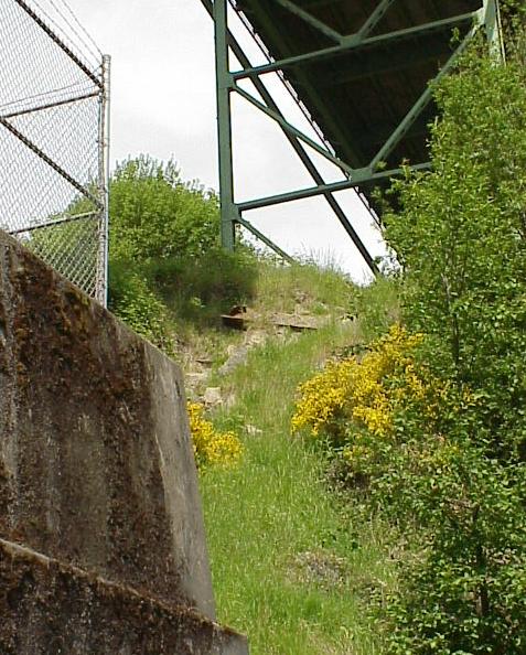
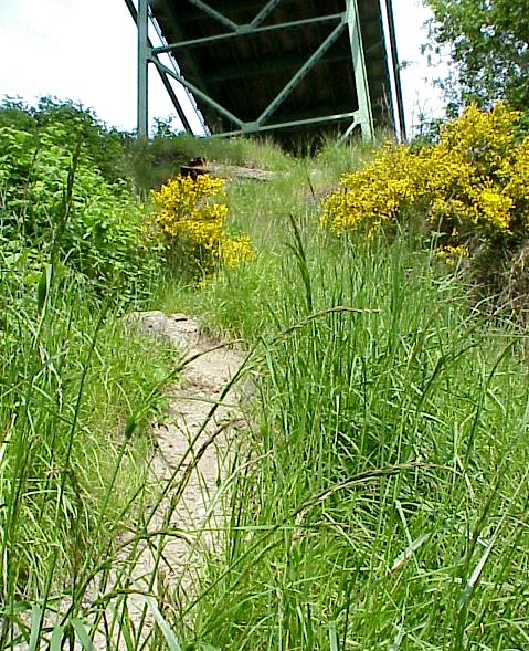
- The climb back up...
-
-

-
-
-
- Gig Harbor... lunch...
-
-

-
-

-
-
-
- Back across the Tacoma Narrows...
-
-

-
-
-
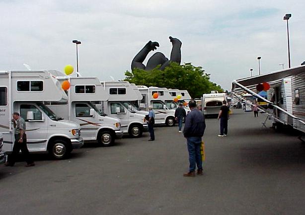
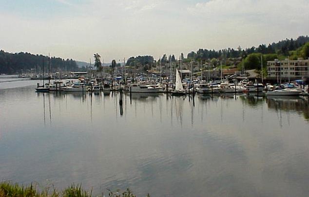
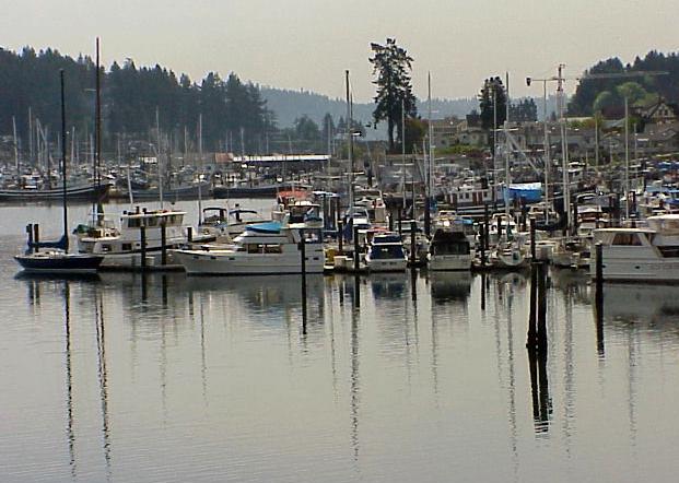
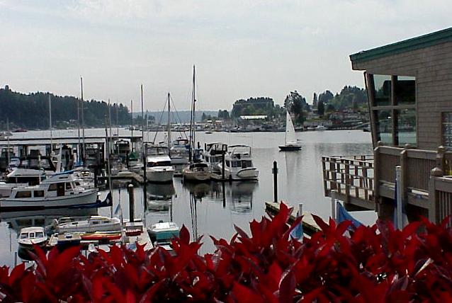
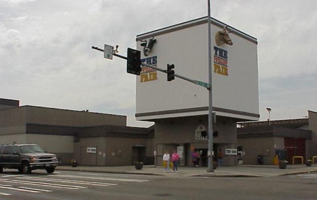
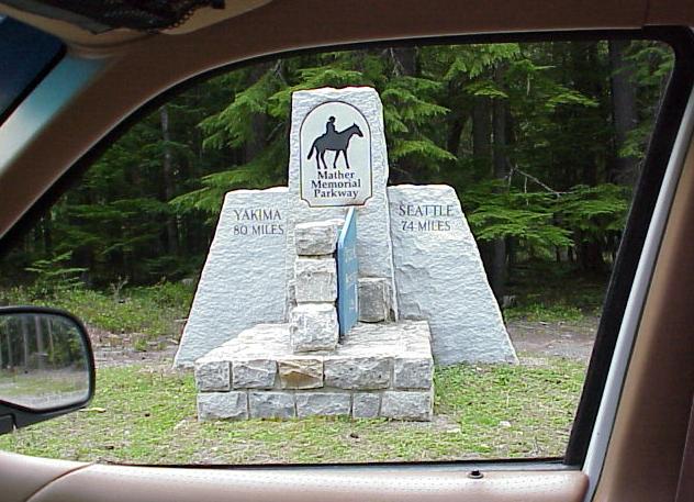
- From the Tacoma Narrows I drove back through Tacoma and then southeast
for a dozen or so miles to the Puyallup Fair Grounds where an RV and camping
show was taking place...
-
-

-
-
-
- After a walkthrough at the RV show I continued toward the
southeast, toward Mt. Rainier National Park...
-
-

-
-

-
-
-
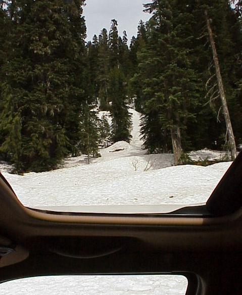
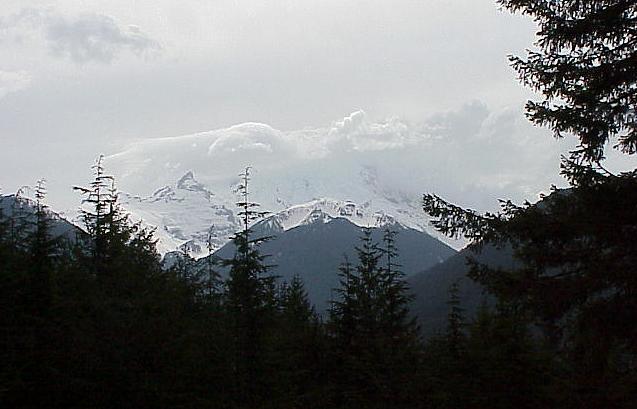
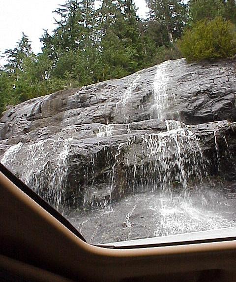
- Up through the moon roof...
-
-

-
-

-
-
- From sea level at the Tacoma Narrows to not far below the 14,000 foot peak
of Mt. Rainier in the space of a few hours...
-
-
- I parked near this spot and hiked up what looked like a horse trail for a
couple of miles...
-
-

-
-
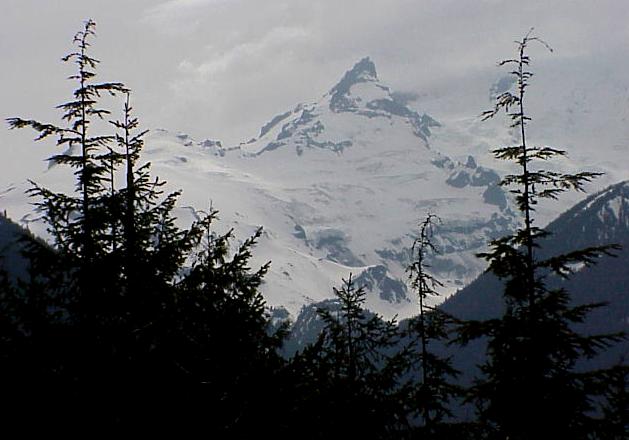
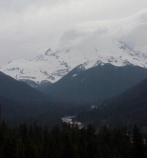
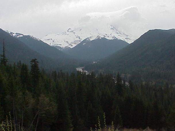
- And at this spring, deep within the forest, I stopped for a while...
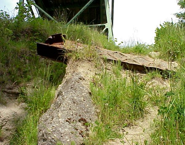
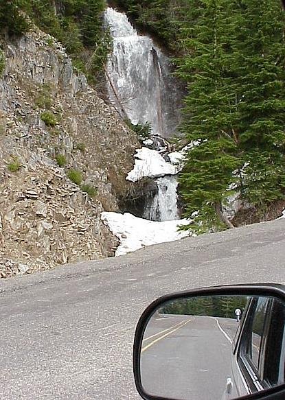
-
-

|